TBD Sw 129th Lane, Ocala, FL 34473
- $51,150


- List Price
- $51,150
- Status
- Active
- Days on Market
- 447
- Price Change
- ▼ $100 1766874517
- MLS#
- OM701232
- Lot Size
- 10,454
- Acres
- 0.24
- Total Acreage
- 0 to less than 1/4
- Legal Subdivision Name
- Marion Oaks Un 10
- MLS Area Major
- Ocala
Property Description
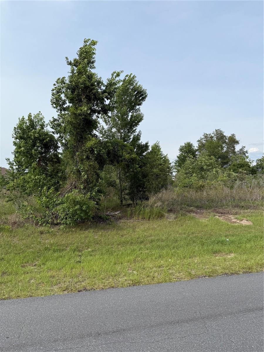
Prime residential lot in SW Ocala. Welcome to the site of your next Florida home. This great lot is .24 acres, 10,454 sqft. and is in Marion Oaks unit 10, northside of Hwy 484. This nice level lot is HIGH & DRY! It is zoned R1, Single Family Homes. If you are looking to build a new permanent or a vacation home, or maybe just wanting to make a great investment in land, since they are not making any more, this is the place to do it. This is a popular and growing area of town and in one of Florida's fastest growing counties. Get in while you can!
/u.realgeeks.media/oakandsagerealty/header.png)
Additional Information
- Taxes
- $377
- Community Features
- No Deed Restriction
- Zoning
- R1
- Utilities
- BB/HS Internet Capable, Electrical Nearby, Public, Water Available
- Pool
- No Pool
- Flood Zone Code
- x
- Parcel ID
- 8010-0906-21
- Legal Description
- SEC 06 TWP 17 RGE 21 PLAT BOOK O PAGE 194 MARION OAKS UNIT 10 BLK 906 LOT 21
Listing courtesy of INVICTUS REAL ESTATE LLC. 352-817-1627
Mortgage Calculator
StellarMLS is the source of this information via Internet Data Exchange Program. All listing information is deemed reliable but not guaranteed and should be independently verified through personal inspection by appropriate professionals. Listings displayed on this website may be subject to prior sale or removal from sale. Availability of any listing should always be independently verified. Listing information is provided for consumer personal, non-commercial use, solely to identify potential properties for potential purchase. All other use is strictly prohibited and may violate relevant federal and state law. Data last updated on